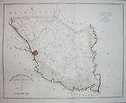
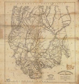
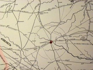
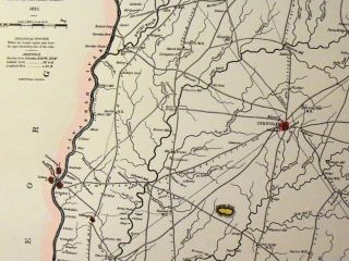
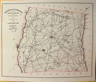
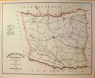
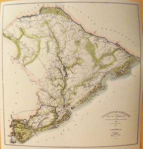
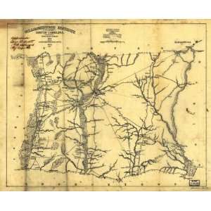
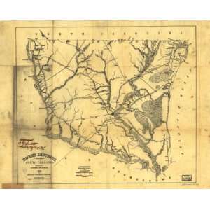
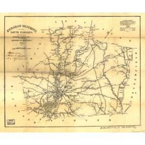
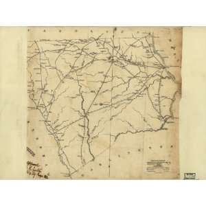
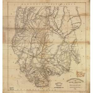
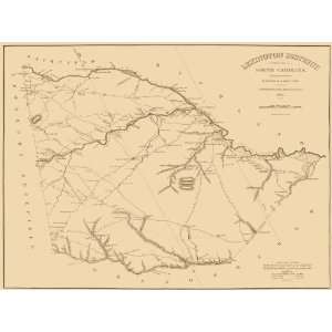
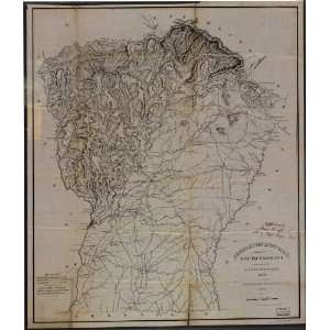
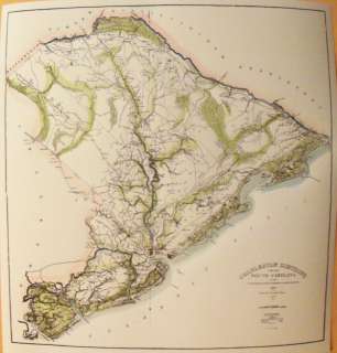
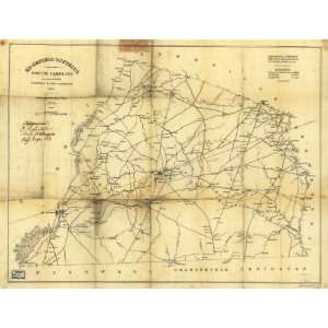
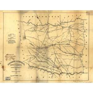
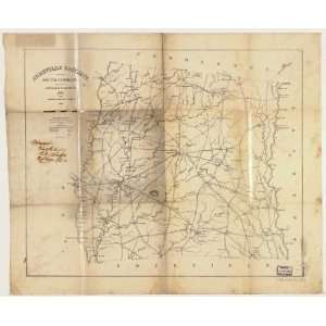
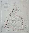
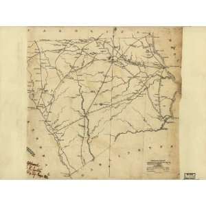
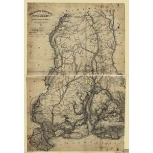
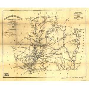
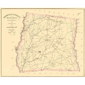
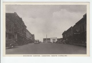
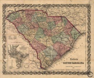
Chester District, South Carolina / surveyed by Charls. Boyd, D.S., 1818 ; improved for Mills Atlas, 1825. (Civil War Map Reprint measured in inches 36 x 30)
When you click on links to various merchants on this site and make a purchase, this can result in this site earning a commission. Affiliate programs and affiliations include, but are not limited to, the eBay Partner Network.

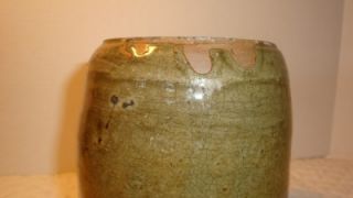
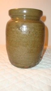
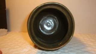
)